Photographs
879 photographs of the places in the archive's stories: streets, harbours, mills and the people in them. Search them, or narrow by decade and town.
430 photographs · Show them all
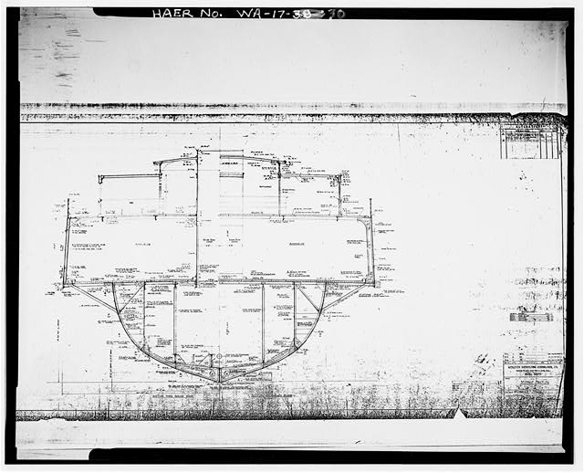 30. BETHLEHEM SHIPBUILDING CORP, LTD. UNION PLANT, SAN FRANCISCO, CA. MIDSHIP SECTION, SHEET NUMBER H-5314-11-2. Drawn by H.A. Lennon, undated. - San Mateo Ferry, South end of Lake Union, Seattle, King County, WA
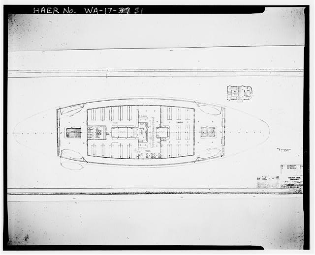 31. BETHLEHEM SHIPBUILDING CORP, LTD. UNION PLANT, SAN FRANCISCO, CA. SALON DECK ARRANGEMENT, SHEET NUMBER 5314-11-84. Drawn by A.E. Wilson, dated 12-6-21. - San Mateo Ferry, South end of Lake Union, Seattle, King County, WA
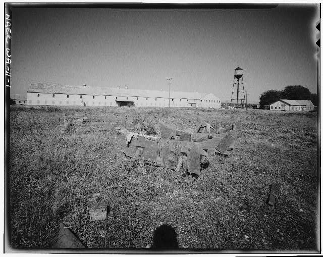 1. GENERAL VIEW OF PLANT LOOKING SOUTHEAST - Semiahmoo Cannery, On Boundary Bay near Canadian border, Blaine, Whatcom County, WA
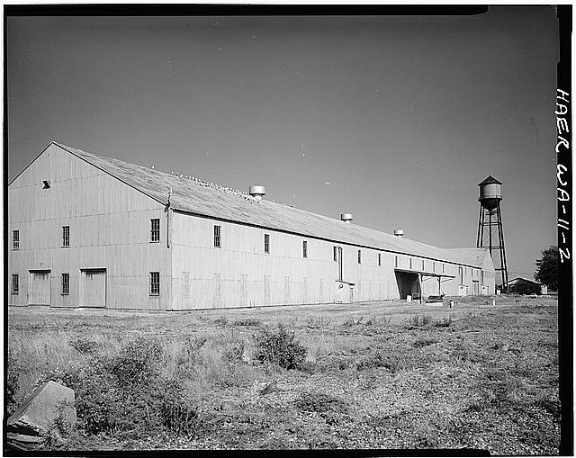 2. VIEW LOOKING SOUTH, 3/4 ELEVATION OF MAIN WAREHOUSE - Semiahmoo Cannery, On Boundary Bay near Canadian border, Blaine, Whatcom County, WA
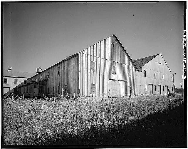 3. VIEW LOOKING SOUTHWEST, 3/4 ELEVATION OF CANNERY AND MAIN WAREHOUSE - Semiahmoo Cannery, On Boundary Bay near Canadian border, Blaine, Whatcom County, WA
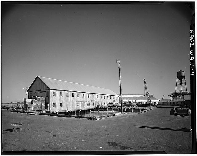 4. GENERAL VIEW LOOKING SOUTHWEST FROM WHARF - Semiahmoo Cannery, On Boundary Bay near Canadian border, Blaine, Whatcom County, WA
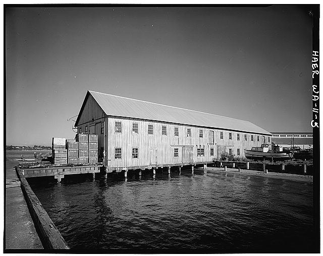 5. VIEW LOOKING SOUTHWEST, 3/4 ELEVATION OF NET WAREHOUSE - Semiahmoo Cannery, On Boundary Bay near Canadian border, Blaine, Whatcom County, WA
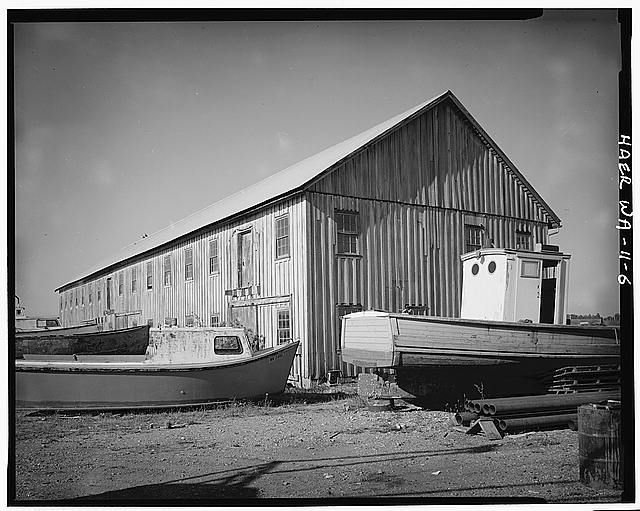 6. VIEW LOOKING EAST, 3/4 ELEVATION OF NET WAREHOUSE - Semiahmoo Cannery, On Boundary Bay near Canadian border, Blaine, Whatcom County, WA
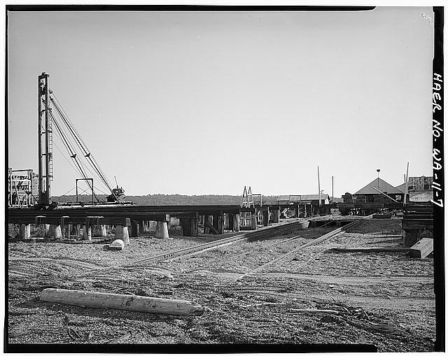 7. GENERAL VIEW LOOKING SOULS, MARINE RAILWAY - Semiahmoo Cannery, On Boundary Bay near Canadian border, Blaine, Whatcom County, WA
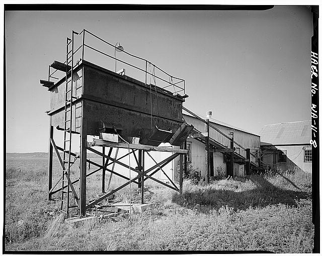 8. VIEW LOOKING NORTHEAST, WASTE PROCESSING HOUSE AND ELEVATOR - Semiahmoo Cannery, On Boundary Bay near Canadian border, Blaine, Whatcom County, WA
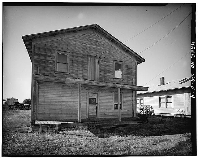 9. VIEW LOOKING SOUTH, ELEVATION OF BUNKHOUSE - Semiahmoo Cannery, On Boundary Bay near Canadian border, Blaine, Whatcom County, WA
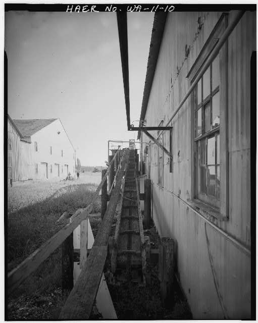 10. DETAIL VIEW LOOKING WEST, FISH-HOUSE ELEVATOR - Semiahmoo Cannery, On Boundary Bay near Canadian border, Blaine, Whatcom County, WA
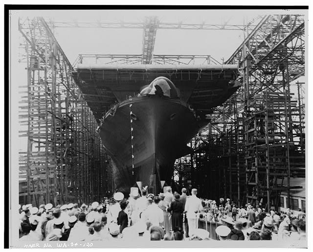 120. BOW VIEW OF LAUNCHING, SHOWING ORIGINAL BOW CONFIGURATION. 30 AUGUST 1943. (NATIONAL ARCHIVES No. 80-G-43009) - U.S.S. HORNET, Puget Sound Naval Shipyard, Sinclair Inlet, Bremerton, Kitsap County, WA
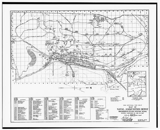 5. Photocopy titled 'Map of Naval Ammunition Depot, Bremerton (Puget Sound), Wash.' dated June 30, 1947. Buildings 103 and 104 are shaded and located left of center near top of map. HABS film is an 8x10' high-contrast negative made from original map in the collection of the Department of Public Works, Puget Sound Naval Shipyard, Bremerton, WA. - Puget Sound Naval Shipyard, Munitions Storage Bunker, Naval Ammunitions Depot, North of Campbell Trail, Bremerton, Kitsap County, WA
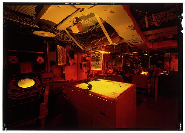 Combat Information Center looking to port and aft, overall view of room with plotting table in center - USS Turner Joy, Bremerton Marina, Bremerton, Kitsap County, WA
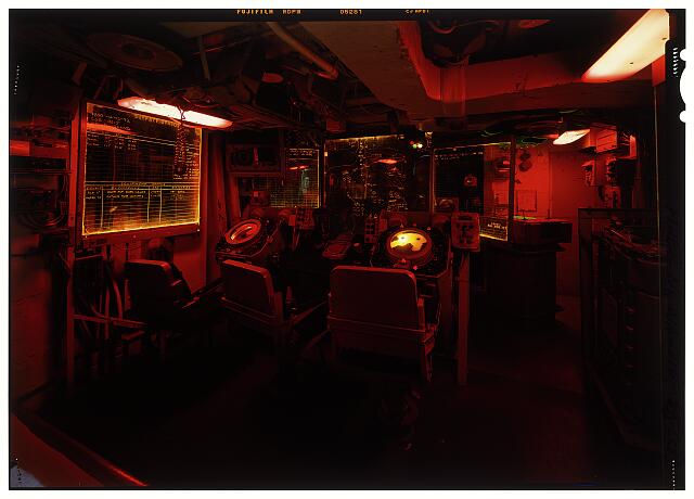 Combat Information Center looking to port towards "AN/SPA-8A" units - USS Turner Joy, Bremerton Marina, Bremerton, Kitsap County, WA
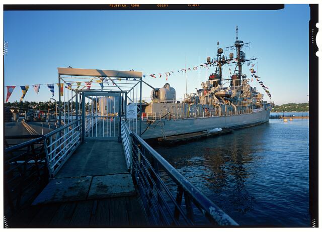 3/4 view of starboard side with visitor entrance gate in foreground - USS Turner Joy, Bremerton Marina, Bremerton, Kitsap County, WA
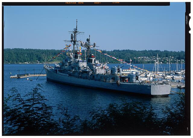 Perspective view from port quarter looking along the port side of the ship - USS Turner Joy, Bremerton Marina, Bremerton, Kitsap County, WA
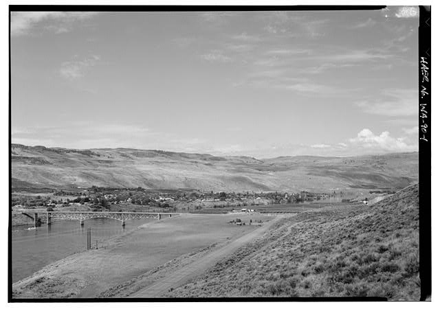 1. COLUMBIA RIVER BRIDGE WITH TOWN OF BRIDGEPORT LOOKING WEST BY 270 DEGREES - Columbia River Bridge at Bridgeport, State Route 17 spanning Columbia River, Bridgeport, Douglas County, WA
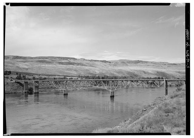 5. UPSTREAM VIEW LOOKING WEST TOWARD BRIDGEPORT - Columbia River Bridge at Bridgeport, State Route 17 spanning Columbia River, Bridgeport, Douglas County, WA
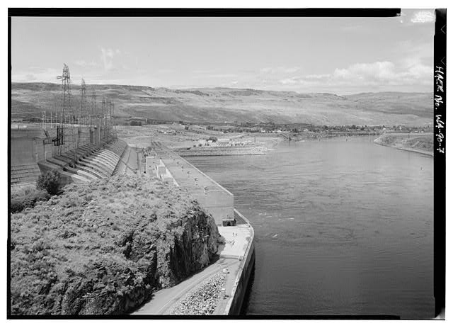 7. CHIEF JOSEPH DAM AND POWERHOUSE TO LEFT OF PICTURE COLUMBIA RIVER BRIDGE AT BRIDGEPORT TO RIGHT OF DOWNSTREAM - Columbia River Bridge at Bridgeport, State Route 17 spanning Columbia River, Bridgeport, Douglas County, WA
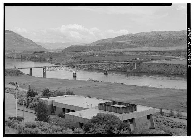 2. PERSPECTIVE LOOKING NORTH BY 300 DEGREES CHIEF JOSEPH DAM INTERPRETIVE CENTER IN FOREGROUND - Columbia River Bridge at Bridgeport, State Route 17 spanning Columbia River, Bridgeport, Douglas County, WA
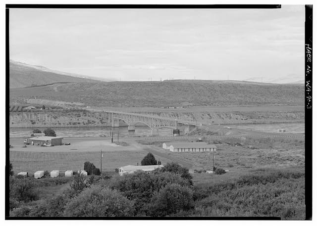 3. GENERAL VIEW LOOKING NORTH - Columbia River Bridge at Bridgeport, State Route 17 spanning Columbia River, Bridgeport, Douglas County, WA
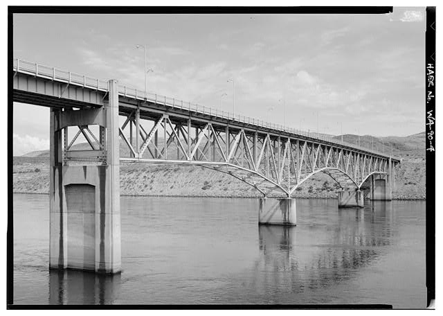 4. CLOSE RANGE PERSPECTIVE OF MAIN CANTILEVER SPAN - Columbia River Bridge at Bridgeport, State Route 17 spanning Columbia River, Bridgeport, Douglas County, WA
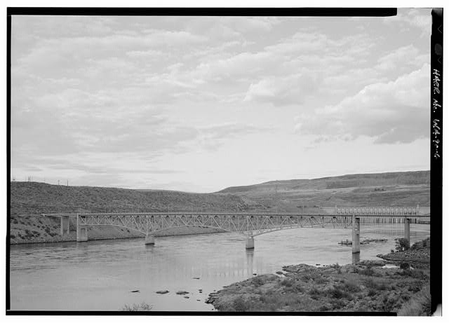 6. DOWNSTREAM VIEW OF MAIN SPAN WITH CHIEF JOSEPH DAM IN BACKGROUND - Columbia River Bridge at Bridgeport, State Route 17 spanning Columbia River, Bridgeport, Douglas County, WA
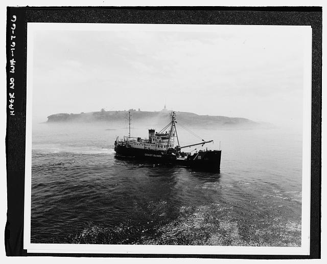 66. Servicing Cape Flattery Lighthouse on Tatoosh Island at the entrance of the Strait of Juan de Fuca. - U.S. Coast Guard Cutter FIR, Puget Sound Area, Seattle, King County, WA
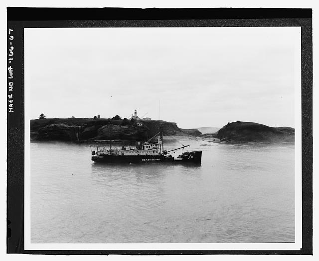 67. Servicing Cape Flattery Lighthouse on Tatoosh Island at the entrance of the Strait of Juan de Fuca. - U.S. Coast Guard Cutter FIR, Puget Sound Area, Seattle, King County, WA
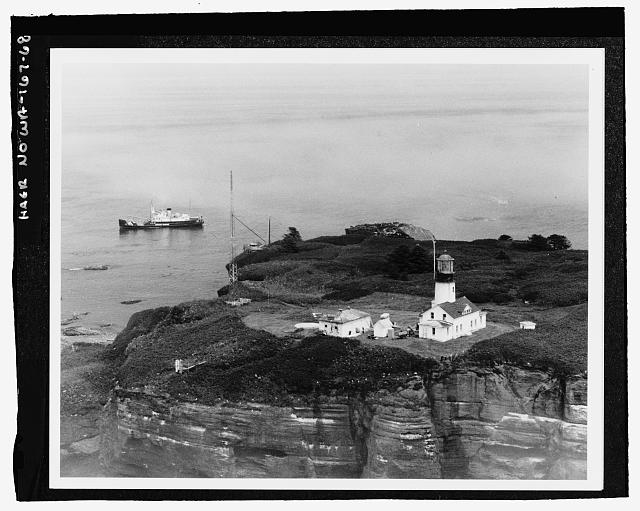 68. Servicing Cape Flattery Lighthouse on Tatoosh Island at the entrance of the Strait of Juan de Fuca. - U.S. Coast Guard Cutter FIR, Puget Sound Area, Seattle, King County, WA
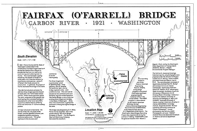 HAER WASH,27-CARB.V,1- (sheet 1 of 3) - Fairfax Bridge, Spanning Carbon River at State Route 165, Carbonado, Pierce County, WA
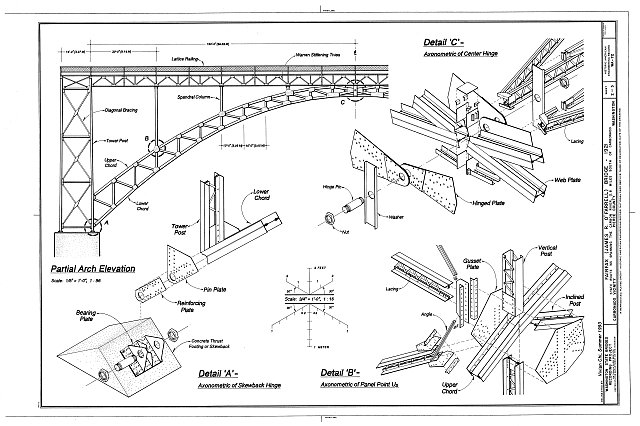 HAER WASH,27-CARB.V,1- (sheet 2 of 3) - Fairfax Bridge, Spanning Carbon River at State Route 165, Carbonado, Pierce County, WA
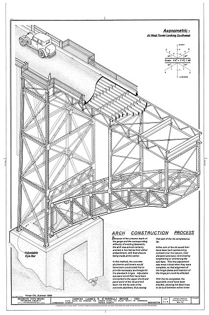 HAER WASH,27-CARB.V,1- (sheet 3 of 3) - Fairfax Bridge, Spanning Carbon River at State Route 165, Carbonado, Pierce County, WA
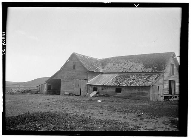 Stagecoach Station, Cashup, Whitman County, WA
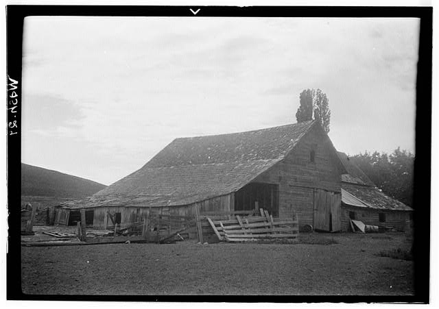 Stagecoach Station, Cashup, Whitman County, WA
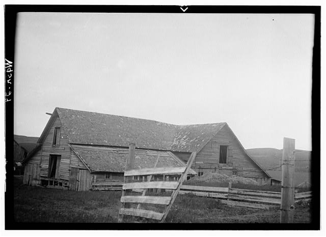 Stagecoach Station, Cashup, Whitman County, WA
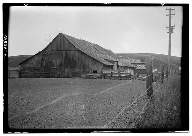 Stagecoach Station, Cashup, Whitman County, WA
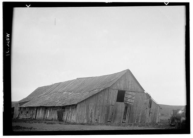 Stagecoach Station, Cashup, Whitman County, WA
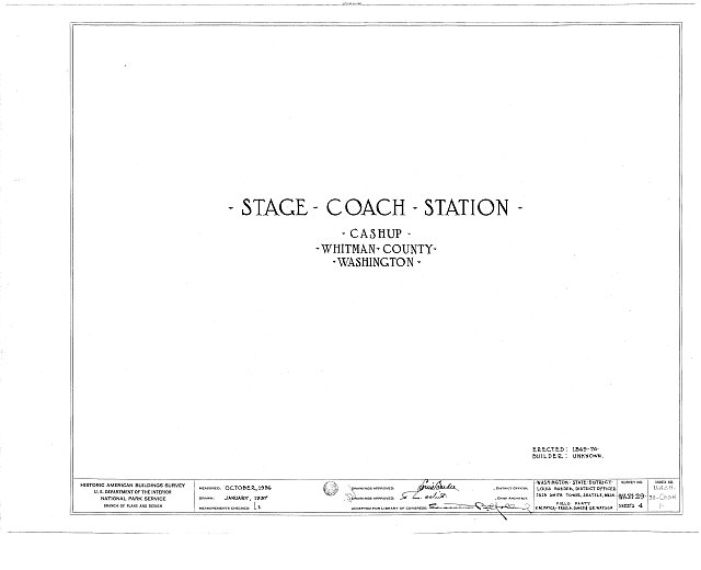 HABS WASH,38-CASH,1- (sheet 0 of 4) - Stagecoach Station, Cashup, Whitman County, WA
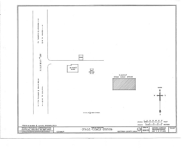 HABS WASH,38-CASH,1- (sheet 1 of 4) - Stagecoach Station, Cashup, Whitman County, WA
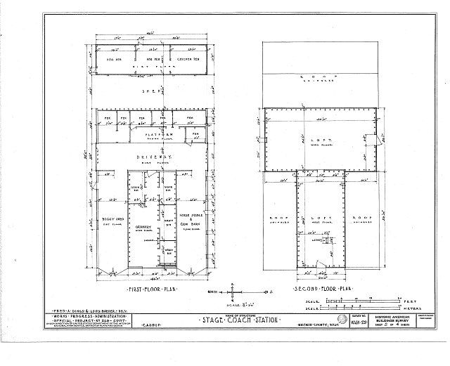 HABS WASH,38-CASH,1- (sheet 2 of 4) - Stagecoach Station, Cashup, Whitman County, WA
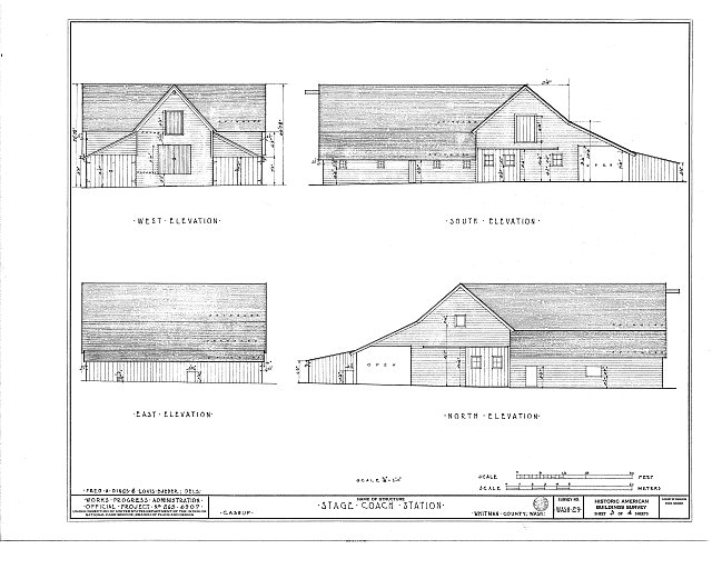 HABS WASH,38-CASH,1- (sheet 3 of 4) - Stagecoach Station, Cashup, Whitman County, WA
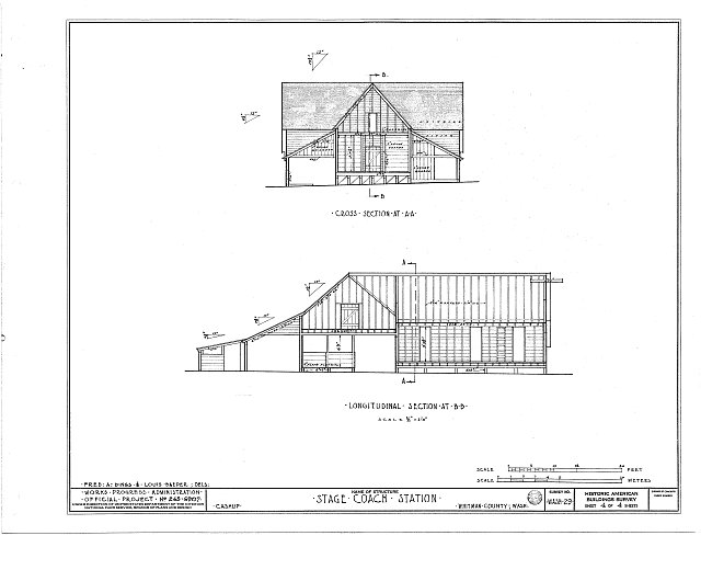 HABS WASH,38-CASH,1- (sheet 4 of 4) - Stagecoach Station, Cashup, Whitman County, WA
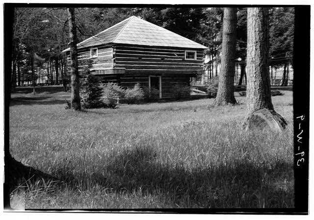 Borst Blockhouse, Borst Park, Centralia, Lewis County, WA
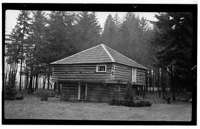 Borst Blockhouse, Borst Park, Centralia, Lewis County, WA
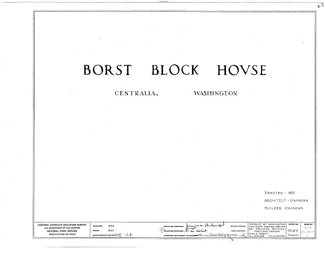 HABS WASH,21-CENT,1- (sheet 0 of 4) - Borst Blockhouse, Borst Park, Centralia, Lewis County, WA
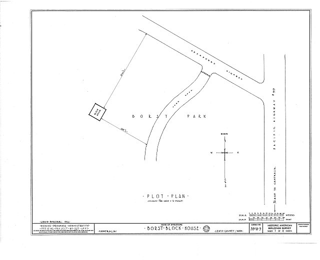 HABS WASH,21-CENT,1- (sheet 1 of 4) - Borst Blockhouse, Borst Park, Centralia, Lewis County, WA
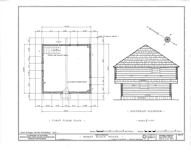 HABS WASH,21-CENT,1- (sheet 2 of 4) - Borst Blockhouse, Borst Park, Centralia, Lewis County, WA
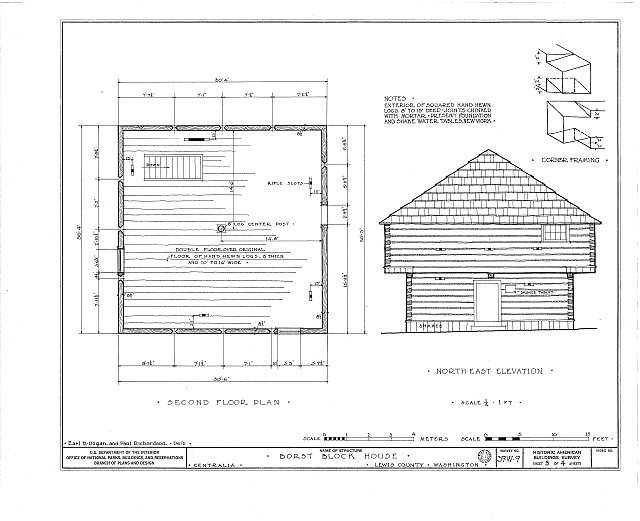 HABS WASH,21-CENT,1- (sheet 3 of 4) - Borst Blockhouse, Borst Park, Centralia, Lewis County, WA
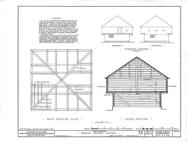 HABS WASH,21-CENT,1- (sheet 4 of 4) - Borst Blockhouse, Borst Park, Centralia, Lewis County, WA
Credits and rights are shown with each photograph. Is one of them yours, or wrongly credited? Open it and use Report a rights issue.