Photographs
588 photographs of the places in the archive's stories: streets, harbours, mills and the people in them. Search them, or narrow by decade and town.
13 photographs · Show them all
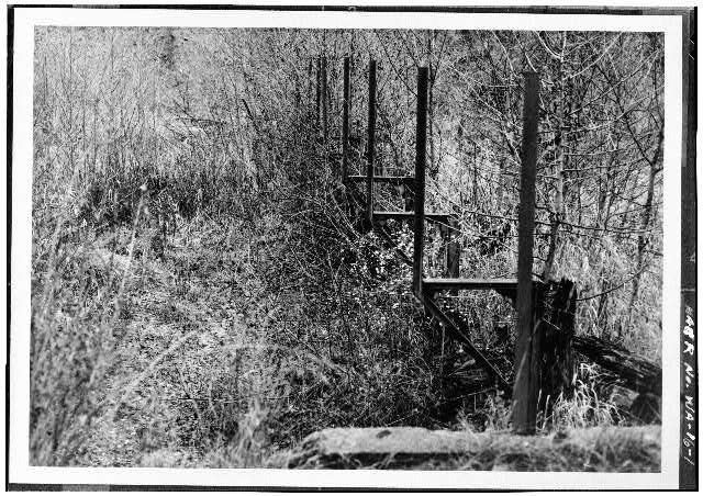 Calispell Diversion Canal, 1.2 miles southeast of I-20 & Flowery Trail, Usk, Pend Oreille County, WA
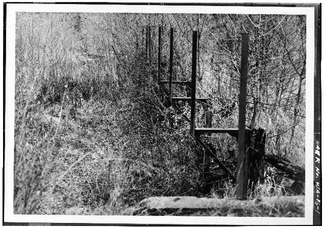 1. VIEW OF THE DIVERSION DAM ON CALISPELL CREEK, LOOKING EAST - Calispell Diversion Canal, 1.2 miles southeast of I-20 & Flowery Trail, Usk, Pend Oreille County, WA
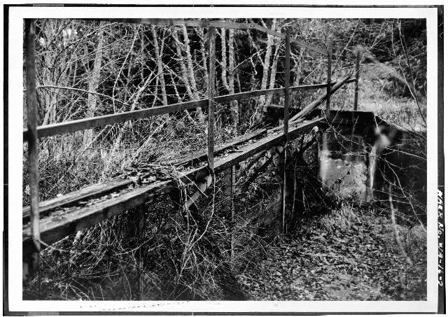 2. VIEW OF HEADGATE AT CALISPELL CREEK, LOOKING SOUTHEAST - Calispell Diversion Canal, 1.2 miles southeast of I-20 & Flowery Trail, Usk, Pend Oreille County, WA
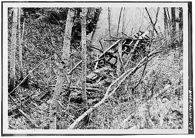 3. VIEW OF FLUME PILINGS AND BRACINGS ON EAST SIDE OF CALISPELL CREEK, LOOKING SOUTHWEST - Calispell Diversion Canal, 1.2 miles southeast of I-20 & Flowery Trail, Usk, Pend Oreille County, WA
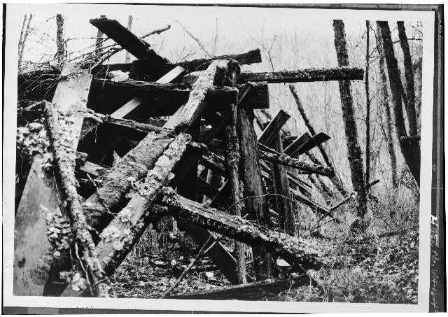 4. CLOSEUP VIEW OF FLUME REMAINS ON EAST SIDE OF CALISPELL CREEK, LOOKING SOUTHWEST - Calispell Diversion Canal, 1.2 miles southeast of I-20 & Flowery Trail, Usk, Pend Oreille County, WA
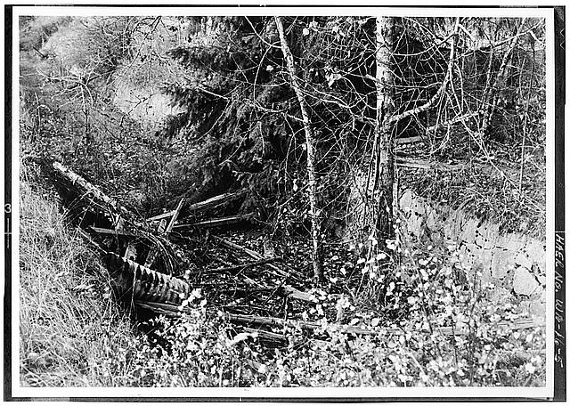 5. VIEW OF ROCK AND CONCRETE LINING ON THE OLD E. J. ZIGLER RANCH, LOOKING NORTH - Calispell Diversion Canal, 1.2 miles southeast of I-20 & Flowery Trail, Usk, Pend Oreille County, WA
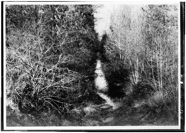 6. VIEW OF TREES AND BRUSH ALONGSIDE CANAL, LOOKING NORTH FROM ROUTE 20 BRIDGE - Calispell Diversion Canal, 1.2 miles southeast of I-20 & Flowery Trail, Usk, Pend Oreille County, WA
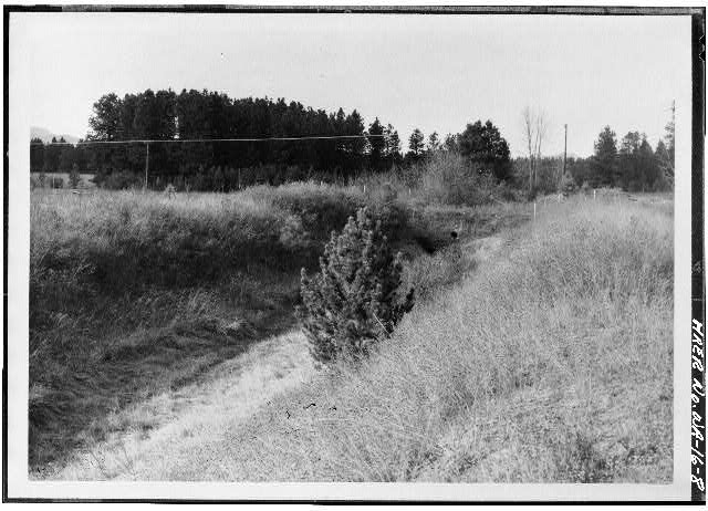 8. TYPICAL VIEW OF DITCH IN ITS LOWER SECTIONS, LOOKING NORTH - Calispell Diversion Canal, 1.2 miles southeast of I-20 & Flowery Trail, Usk, Pend Oreille County, WA
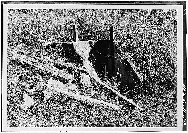 9. TYPICAL VIEW OF MASONRY IRRIGATION TURNOUT WITH FLASHBOARDS LYING ADJACENT, LOOKING SOUTHEAST - Calispell Diversion Canal, 1.2 miles southeast of I-20 & Flowery Trail, Usk, Pend Oreille County, WA
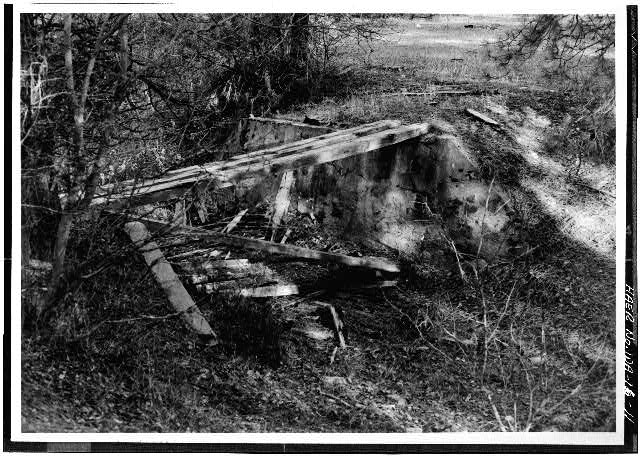 11. TYPICAL VIEW OF A ONE-LANE FARM CROSSING CONSISTING OF MASONRY ABUTMENTS AND LARGE PLANKS, IN THE LOWER SECTION OF THE CANAL, LOOKING NORTH - Calispell Diversion Canal, 1.2 miles southeast of I-20 & Flowery Trail, Usk, Pend Oreille County, WA
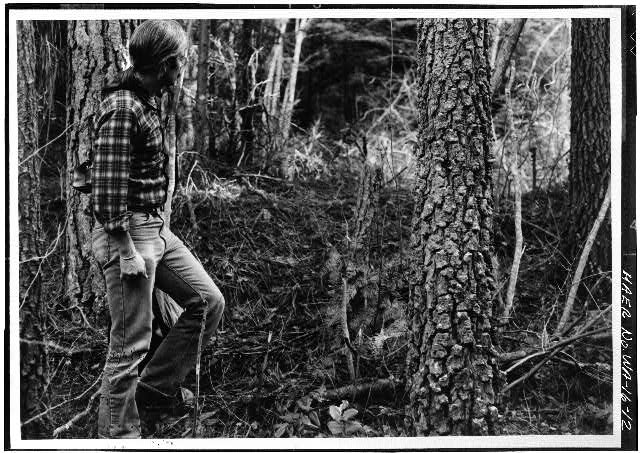 12. VIEW OF THE PROPOSED RAILWAY AND INTAKE/EFFLUENT WATER SUPPLY CORRIDOR THAT WILL CROSS THE DITCH AT THIS LOCATION, LOOKING NORTH - Calispell Diversion Canal, 1.2 miles southeast of I-20 & Flowery Trail, Usk, Pend Oreille County, WA
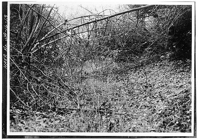 13. VIEW OF THE PROPOSED RAILWAY AND INTAKE/EFFLUENT WATER SUPPLY CORRIDOR THAT WILL CROSS THE DITCH AT THIS LOCATION, LOOKING EAST - Calispell Diversion Canal, 1.2 miles southeast of I-20 & Flowery Trail, Usk, Pend Oreille County, WA
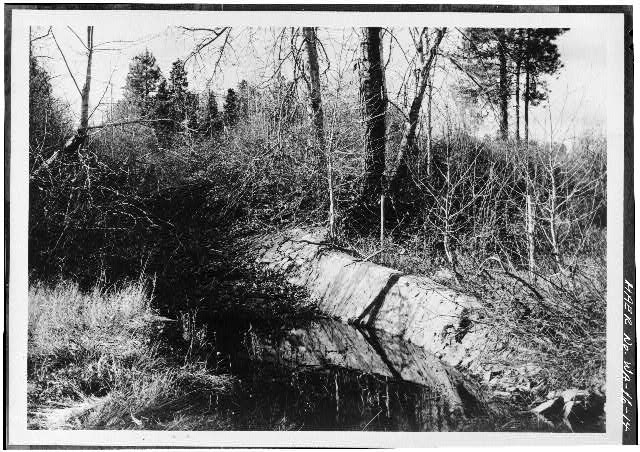 14. VIEW OF THE ROCK AND CONCRETE OUTLET WEIR AND SPILLWAY AT DAVIS CREEK, LOOKING WEST - Calispell Diversion Canal, 1.2 miles southeast of I-20 & Flowery Trail, Usk, Pend Oreille County, WA
Credits and rights are shown with each photograph. Is one of them yours, or wrongly credited? Open it and use Report a rights issue.